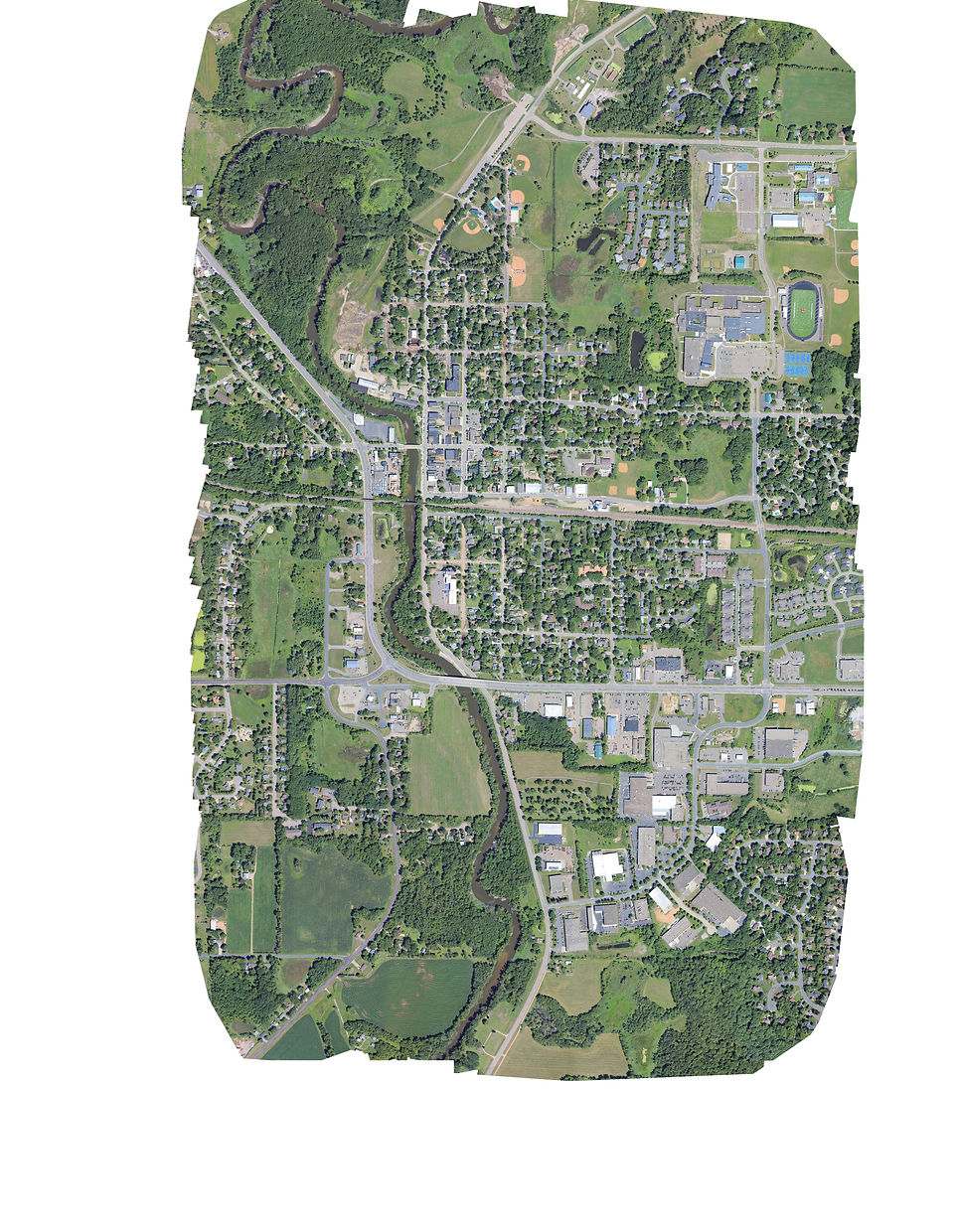
2D Mapping
We can provide crystal clear 2 dimensional maps of any location ranging from an acre to an entire state. This is done by thousands of vertical aerial photos stitch them together into a map. Imagery can be obtained with resolutions as high as 2-3 cm per pixel, far exceeding the resolution of satellite imagery.
The process of acquiring and processing aerial imagry into useful maps is call photogrammetry. This aerial imagery can be georeferenced to existing ground features. Using Pix4D, an advanced photogrammetry software, the images are stitched together to create professional orthomosaics maps. Orthomosaics are more accurate than traditional photo stitched imagery because they correct for uneven terrain for a more accurate image.
Using cameras like the Phase One iXM-150 cameras, we can obtain jaw dropping 150 megapixel imagery. Each photo is geotagged with the GPS coordinates and altitude data. We apply GPS correction technology called post processed kinematic (PPK) to enhance the quality of the location data.
CUSTOM AERIAL MAPS
ORTHOMOSAIC MAPS
DIGITAL ELEVATION MODELS
ACCORDING TO YOUR SCHEDULE


